Zum Inhalt springen
home
peak climber
maeggisserehore
gantrisch snow
steinschlaghore tschipparällenhore SBH
fürstei
hängst
elsighorn
gehrihore SBH
ochsen
möntschelespitz
dent de lys
vanil noir
furggegütsch hohgant SHB
sigriswiler rothorn SBH
schibegütsch
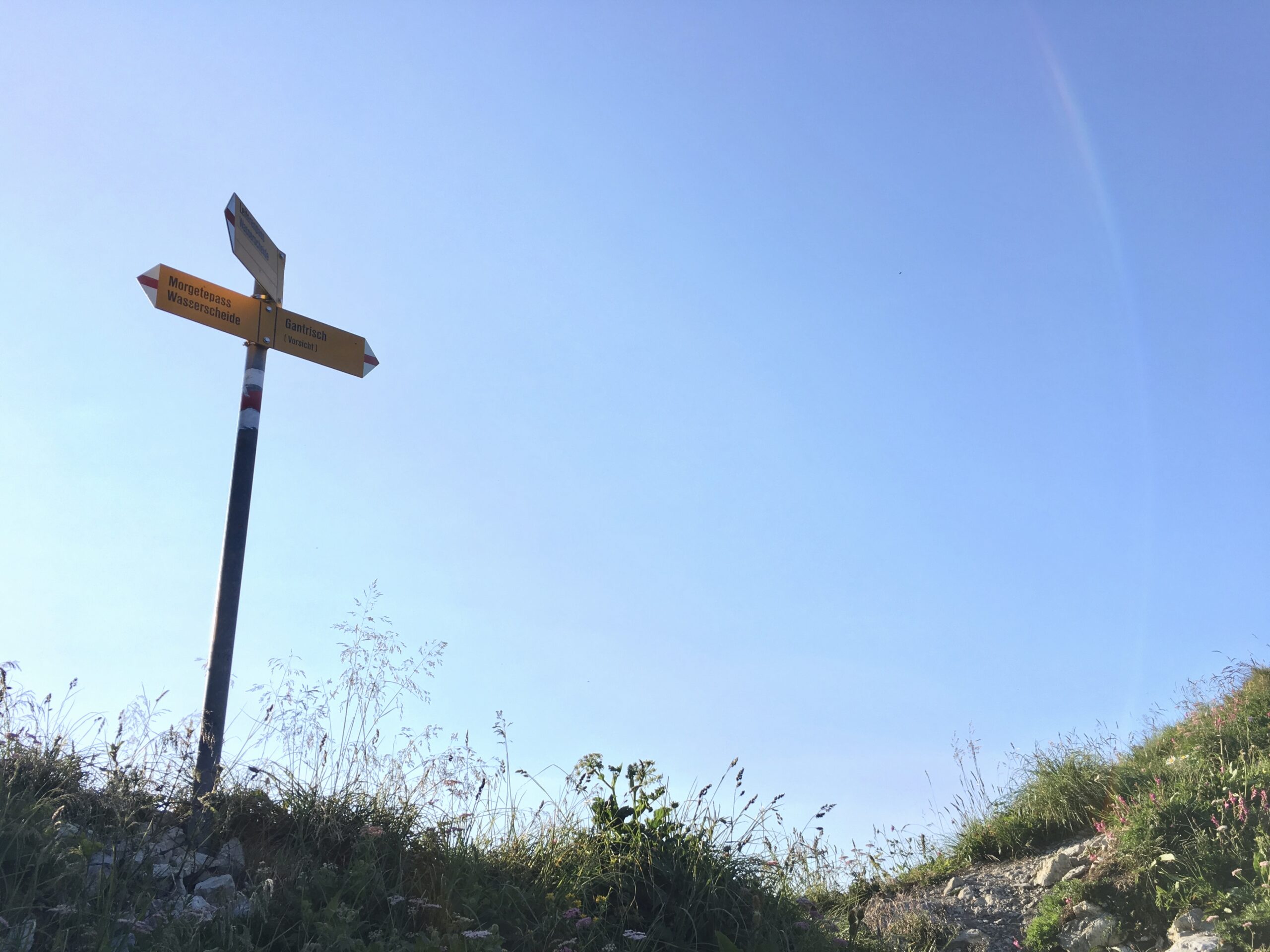
gantrisch
sigriswiler rothorn
new zealand
the third
the second
the first
diving
sweden
2019
2018
2014
2012
2011
prag / sächsische schweiz
sardinia
mallorca
thailand
curriculum
Suchen nach …
Navigationsmenü
Suchen nach …
Navigationsmenü
home
peak climber
maeggisserehore
gantrisch snow
steinschlaghore tschipparällenhore SBH
fürstei
hängst
elsighorn
gehrihore SBH
ochsen
möntschelespitz
dent de lys
vanil noir
furggegütsch hohgant SHB
sigriswiler rothorn SBH
schibegütsch
gantrisch
sigriswiler rothorn
new zealand
the third
the second
the first
diving
sweden
2019
2018
2014
2012
2011
prag / sächsische schweiz
sardinia
mallorca
thailand
curriculum
map
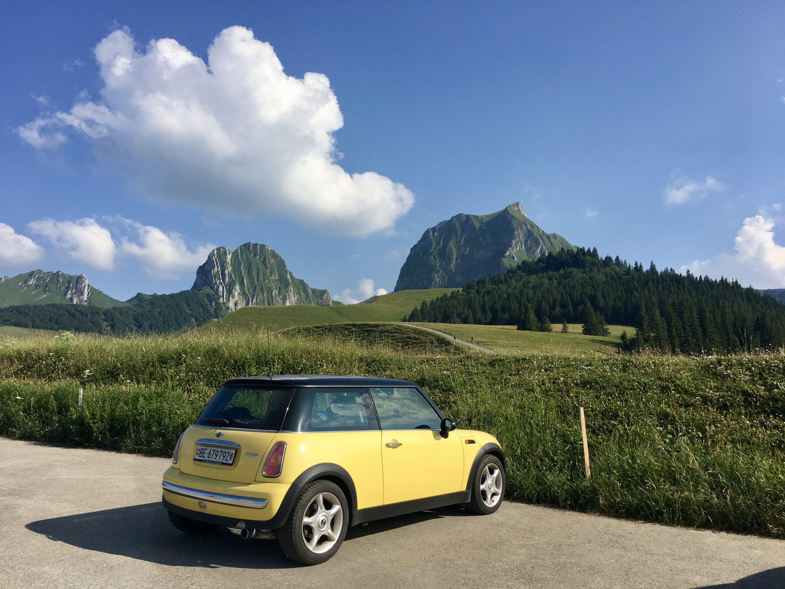
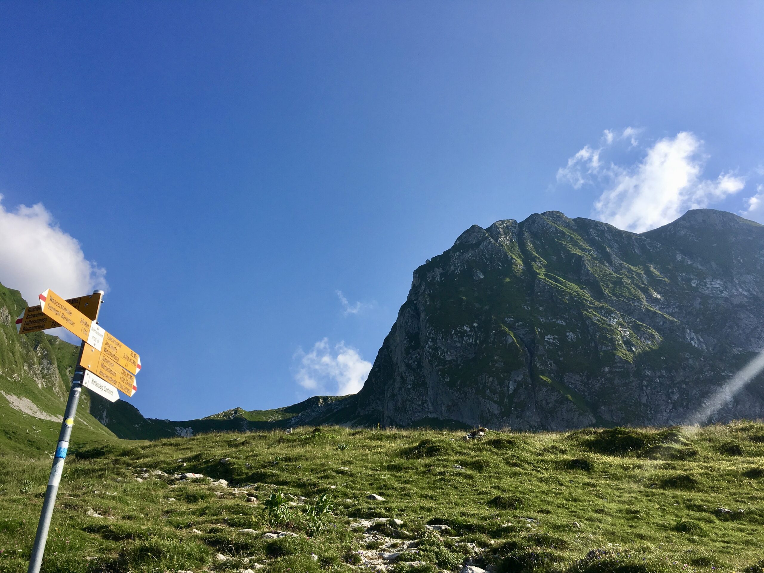
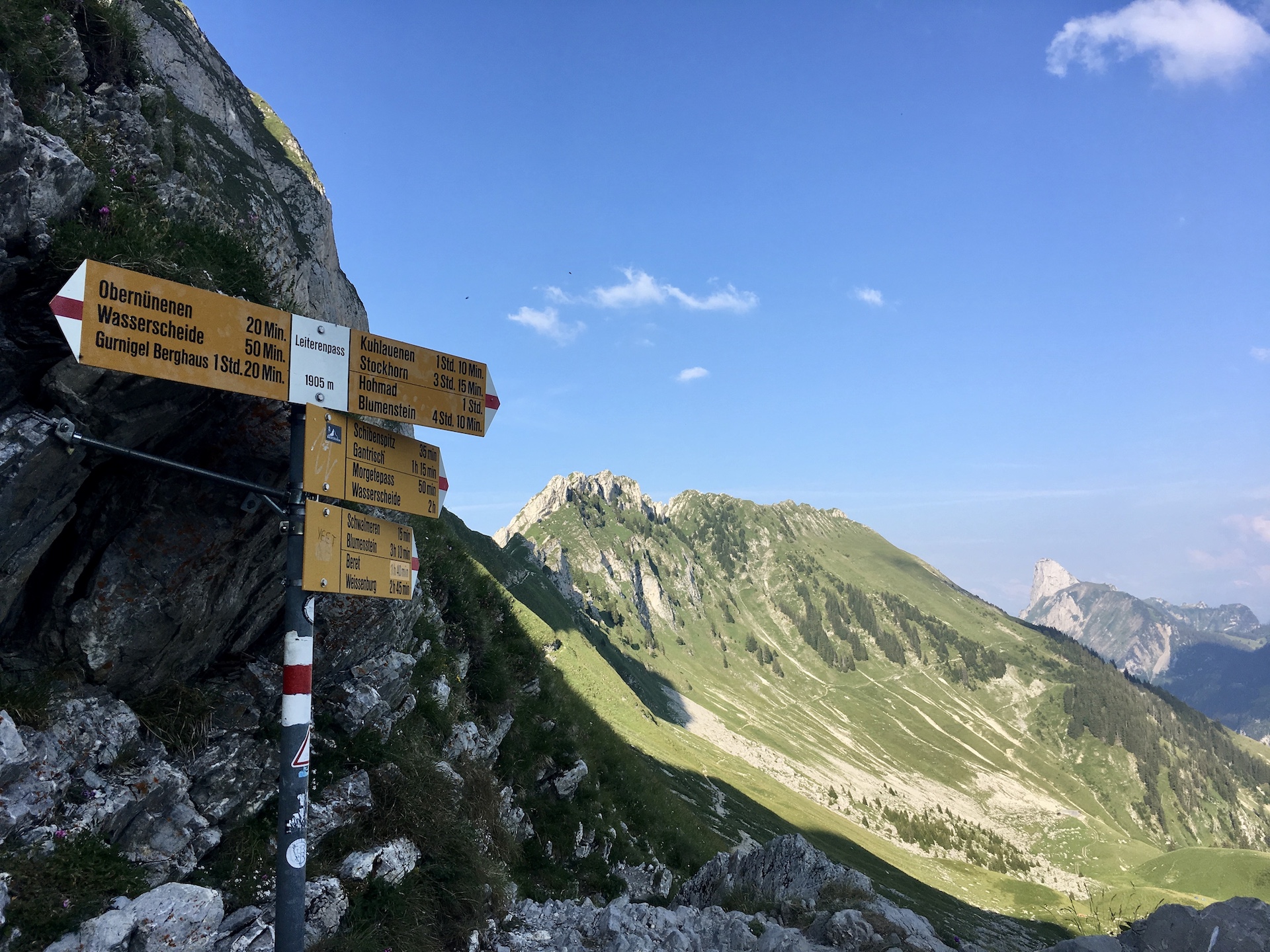
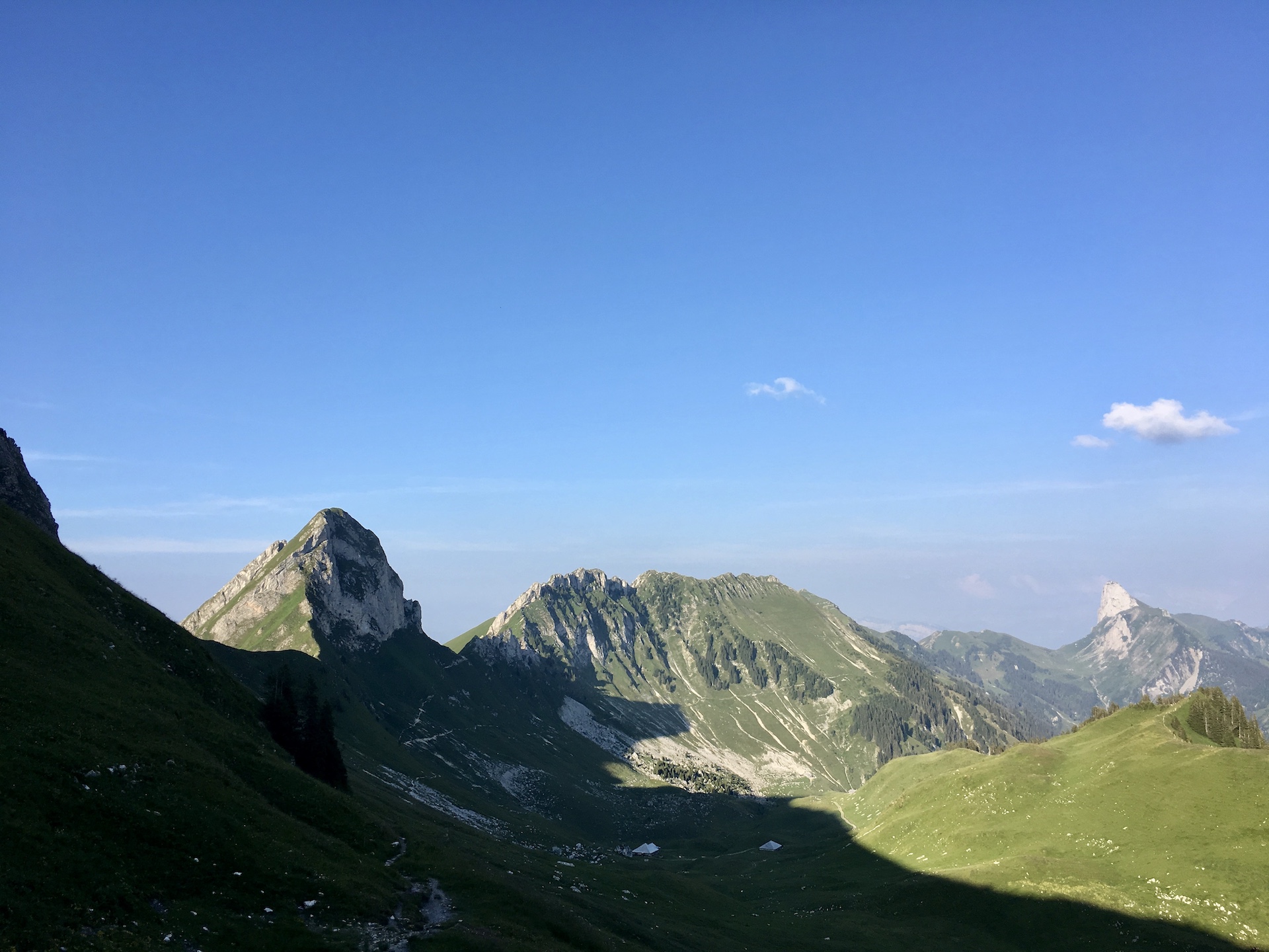
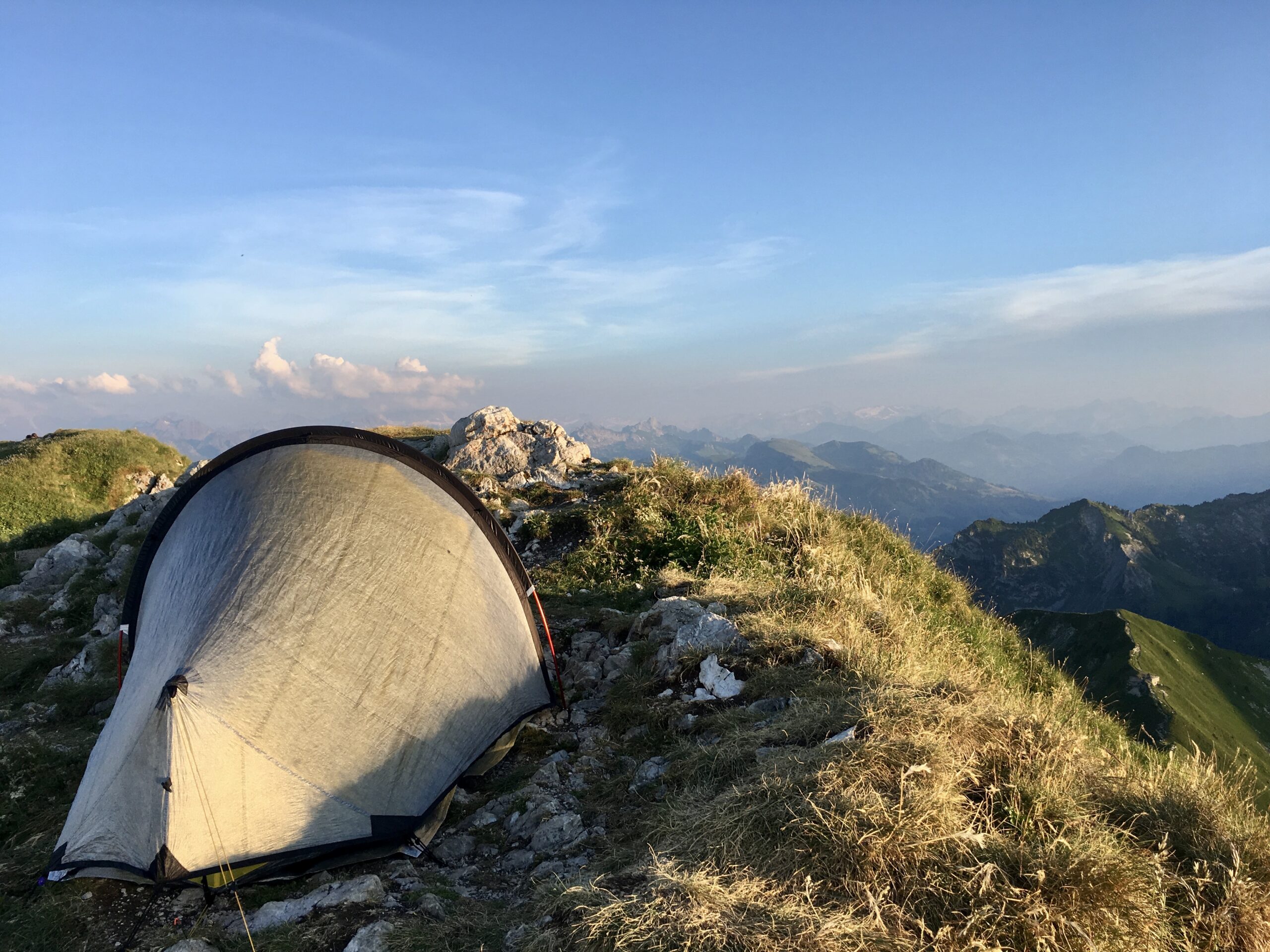
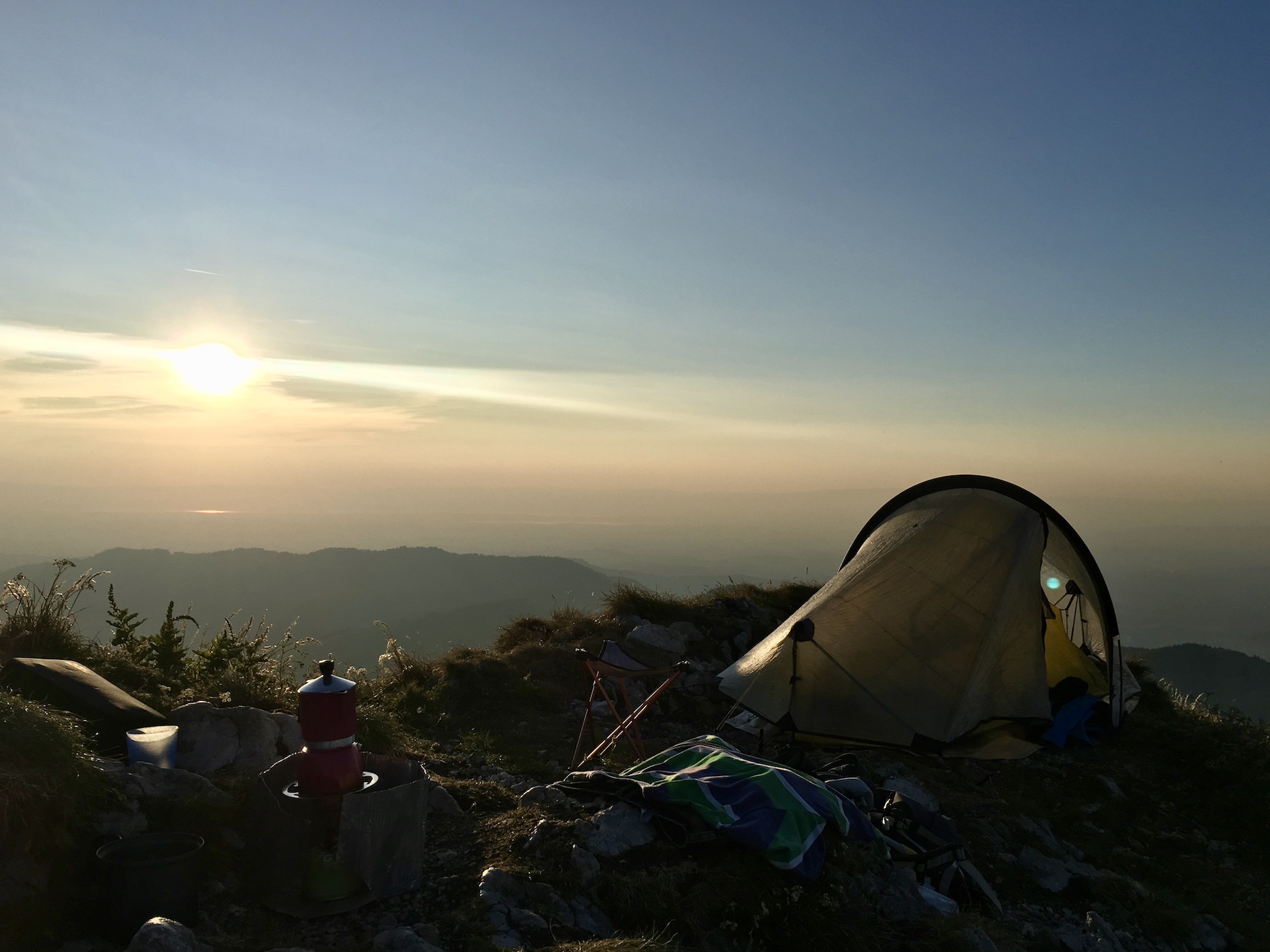
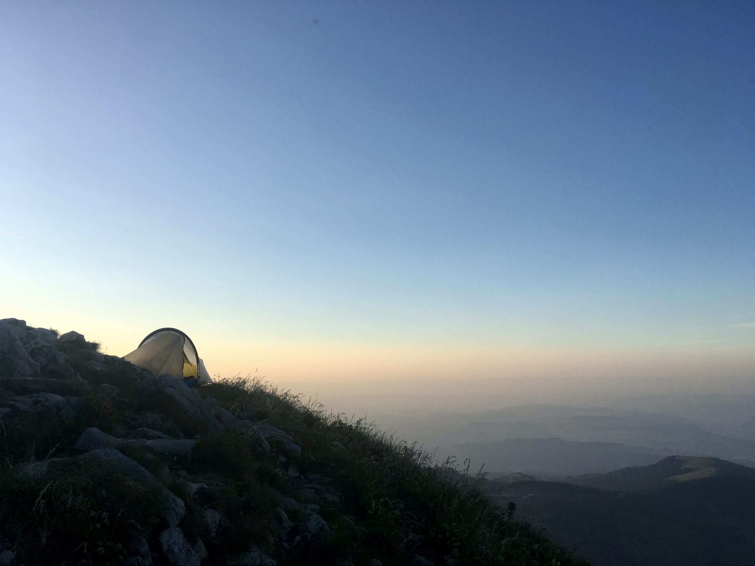
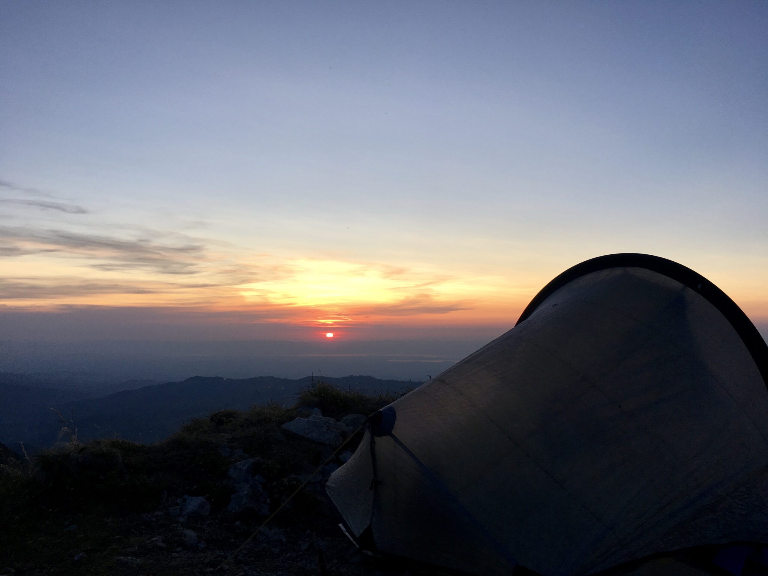
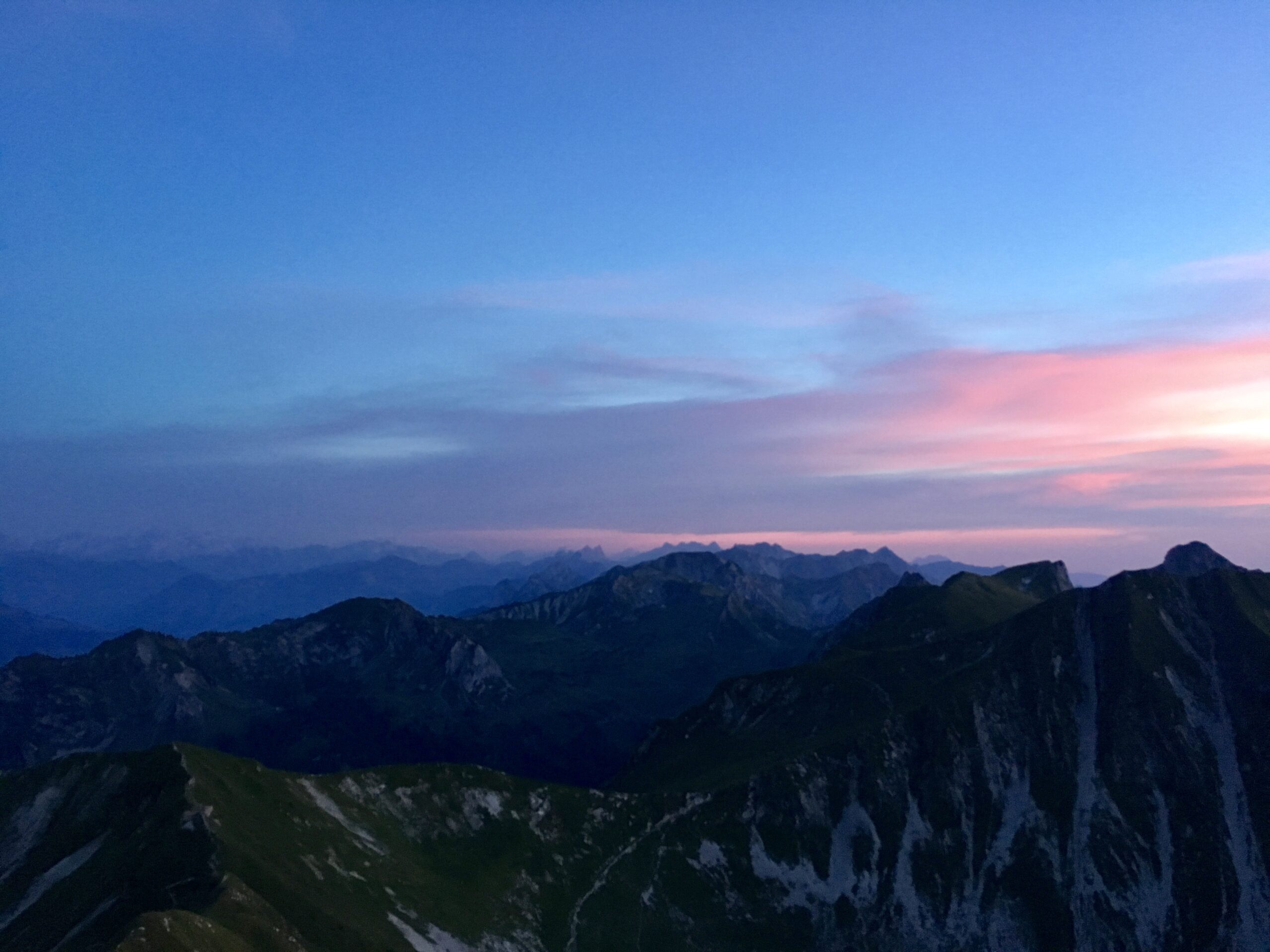
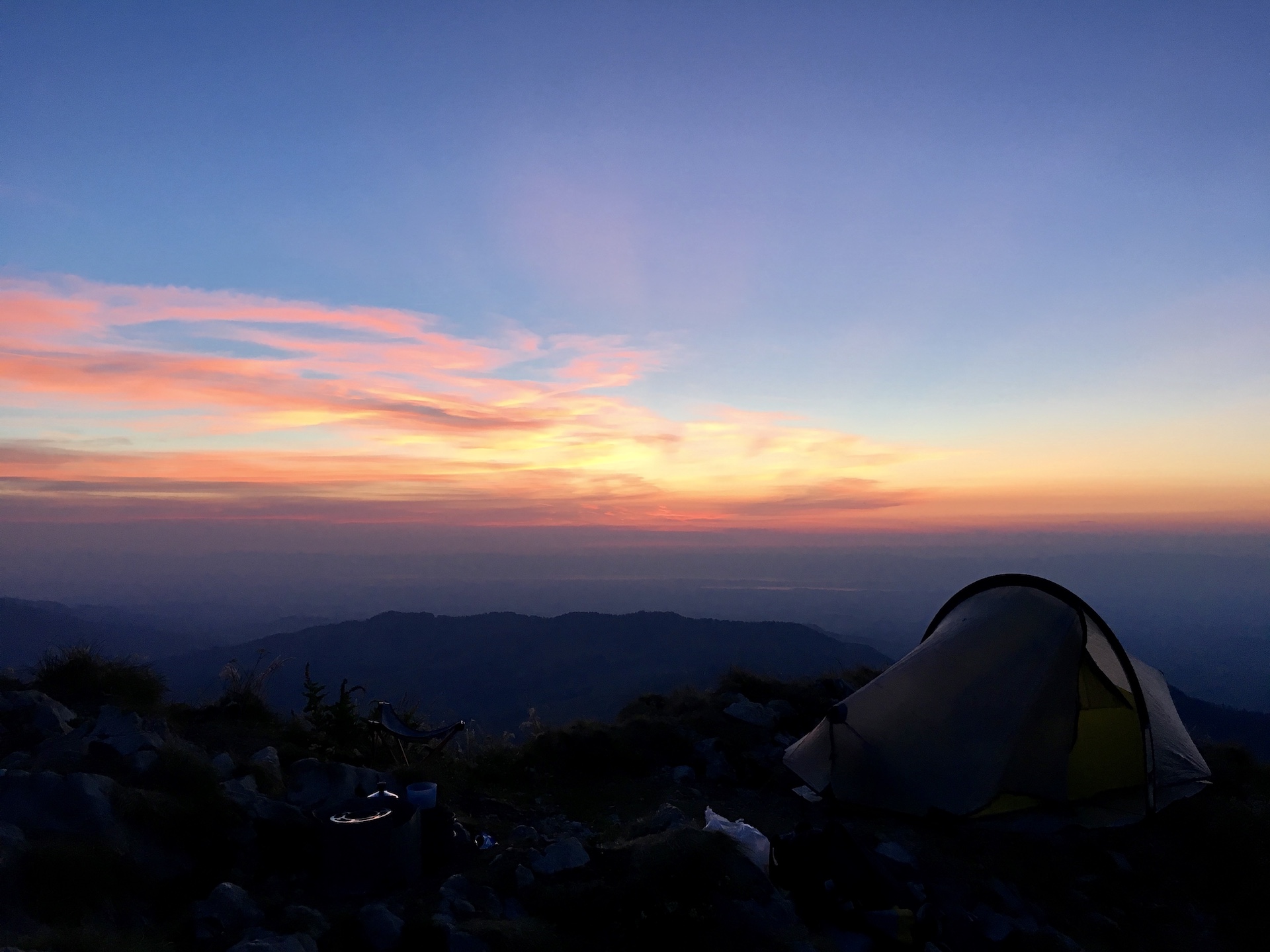
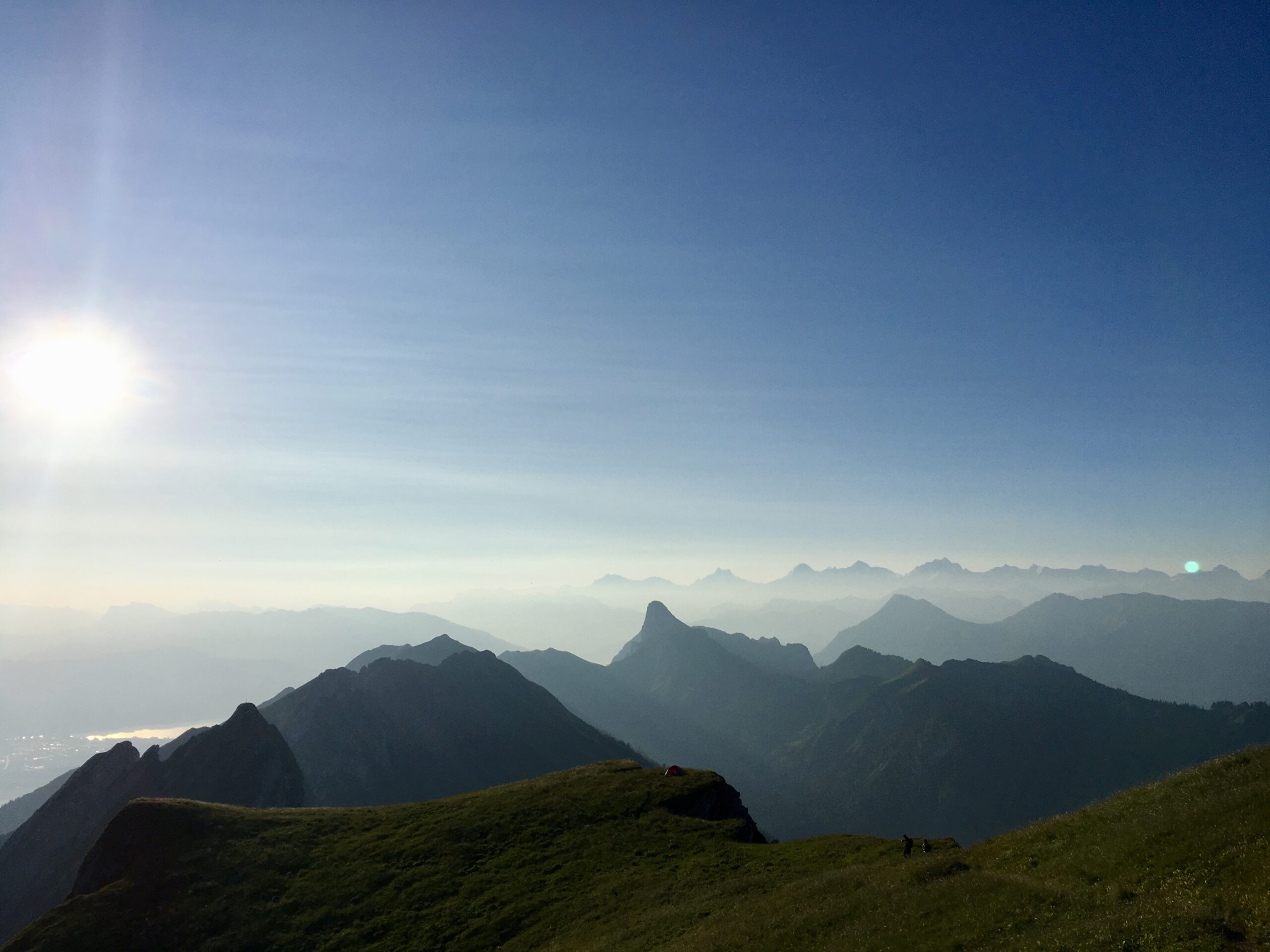
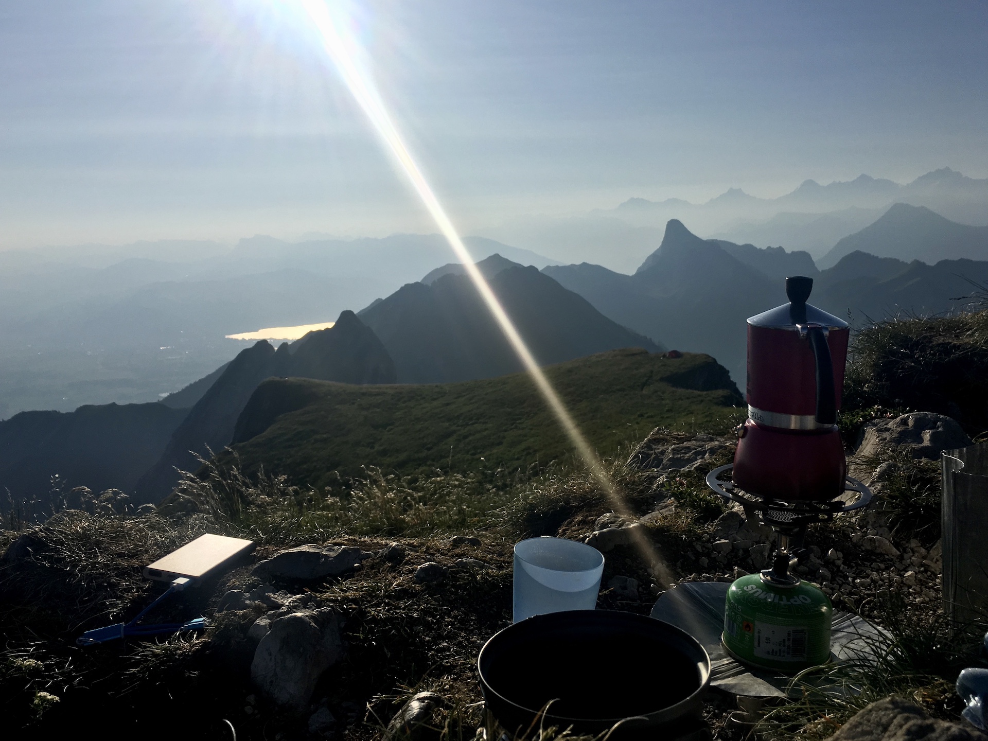
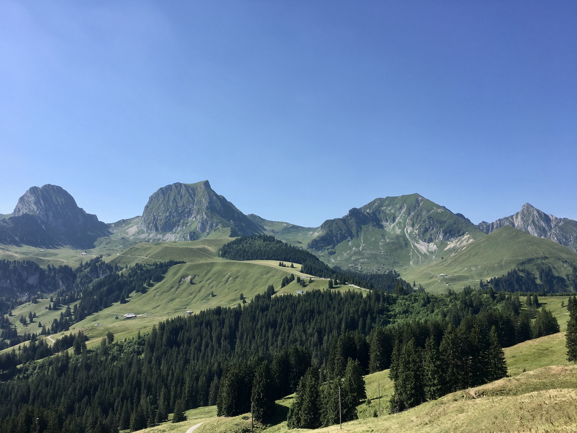
Gantrisch
altitude difference
601 m
ascent
656 m
decent
55 m
highest point
2'175 m
lowest point
1'542 m
linear distance
3'510 m
path distance
3'630 m
time
2h 03min